News
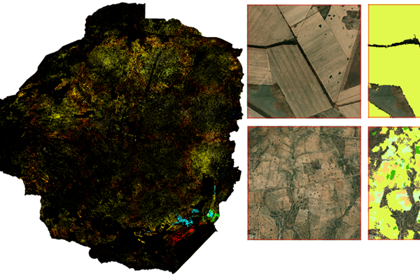
Zimbabwe scales up satellite-based agricultural data systems with launch of EOSTAT Phase II
13/06/2025
The Food and Agriculture Organization of the United Nations (FAO), in collaboration with the Ministry of Lands, Agriculture, Fisheries, Water and Rural Development and with financial support from the African Development Bank (AfDB), has officially launched the second phase of the Earth Observation for Agricultural Statistics project (EOSTAT II) in Zimbabwe.
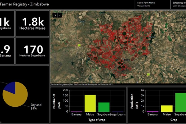
FAO wins prize for geospatial project in Zimbabwe
07/05/2025
FAO won the SDG Custodian Agency Prize at the seventh annual GEO SDG Awards, which recognizes the productivity, innovation, novelty and exemplary efforts in the use of Earth observations to support sustainable development.
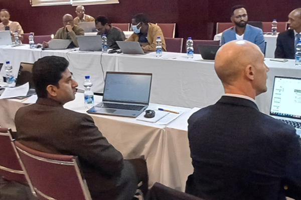
Harnessing Earth Observation and Process-Based Models for Crop Yield Estimation in Ethiopia
04/03/2025
Accurate and timely crop yield estimation is a cornerstone of food security planning, particularly in regions heavily dependent on agriculture. In Ethiopia, FAO has been at the forefront of integrating Earth Observation (EO) data and process-based models to enhance national agricultural statistics.
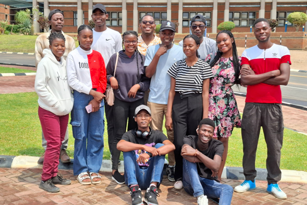
FAO advances agricultural data collection and capacity development in Zimbabwe
28/10/2024
The EOSTAT Field Boundary Digitizing Mapathon took place from 16 September to 1 October 2024 in Zimbabwe, marking a significant leap forward in agricultural data collection for the country.
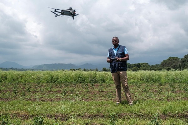
Earth Observation for Statistics – Making agrifood systems around the world more resilient
13/08/2024
FAO’s Earth Observation for Statistics (FAO-EOSTAT) project, an innovative initiative supported by the Agrifood Economics and Policy (ESA) and the Statistics (ESS) Divisions, leverages next-generation Earth Observation (EO) big data and Artificial Intelligence (AI) to enhance traditional statistical tools for producing land cover and land use statistics.
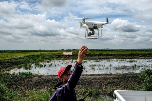
Modernizing Agriculture in Indonesia: FAO's Earth Observation Data Revolution
30/04/2024
By: Rajendra Aryal, FAO Representative in Indonesia and Timor-Leste and Imam Machdi, Deputy Chief Statistician, BPS-Statistics Indonesia.
Two awards recognize FAO’s innovative use of geospatial technologies
08/11/2023
The WaPOR water-efficiency portal and a land-cover monitoring project in Lesotho both contribute to SDG monitoring
.tmb-th600x400.jpg?sfvrsn=c07474c0_2)
Next generation Earth Observation tools help monitor land cover change in Lesotho
02/02/2023
The innovative approach developed by FAO relies on free of charge Earth observation data, vegetation and climate modeling, as well as field survey data to build the Government of Lesotho’s capacity to produce official annual land cover map that are standardized, accurate, granular and validated
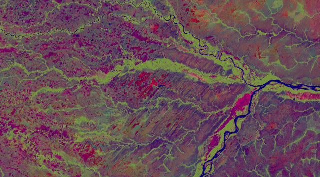
FAO, Digital Earth Africa and Frontier SI’s collaboration to enhance the use of Earth observations in Africa
17/06/2022
The Food and Agriculture Organization of the United Nations (FAO), Digital Earth Africa and Frontier SI have initiated a new collaboration to help African countries use Earth observations to produce land cover and crop statistics
FAO and the European Space Agency unite to support countries in achieving the SDGs
20/04/2021
A new Memorandum of Understanding enhances the use of Earth observation data for food and agriculture statistics

Safeguarding mountain vegetation: FAO receives 2021 GEO Sustainable Development Goals Award
15/11/2023
The organization’s work on measuring and monitoring SDG indicator 15.4.2, the Mountain Green Cover Index (MGCI), awarded at GEO Week 2021
